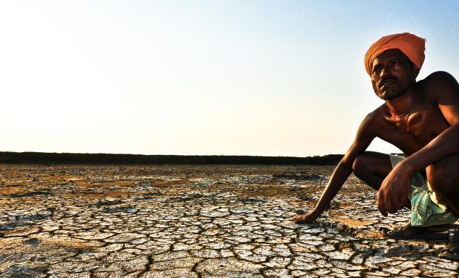
Broadly speaking, drylands are two immense belts around the world’s two hemispheres (see figure 1). They are the consequence of climate patterns that have shaped the general atmospheric circulation on Earth over the last millennia. The first distinction is related to landscape: they contrast with the humid regions due to the lower vegetation density and the prevalence of colors with a tendency to brown and yellow. Their climate presents a high thermal contrast between night and day, and between summer and winter, with notably lower rainfall than in humid areas of the planet. They have a unique geographic feature: they concentrate the vast majority of the population that lives directly from agriculture and livestock and are the most dependent on water for survival.
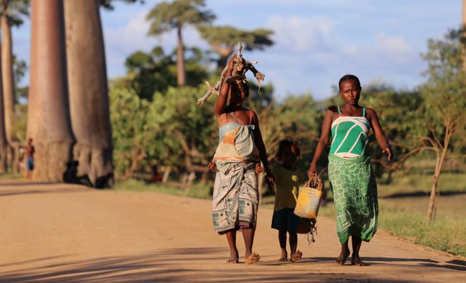
“Drylands” occupy approximately 41% of the Earth’s land surface.© Thomas Rohlfs-unsplash
The aridity index sets the tone
From a technical point of view, drylands are determined by the aridity index. The United Nations Environmental Programme (UNEP) defines drylands as areas with tropical and temperate climates with an aridity index below 0.65. There are many different aridity indexes; the one used by the UNEP is calculated as the ratio of average annual precipitation (P) in mm and the potential evapotranspiration (PET) also in mm.
AI = P/ETP.
It is interesting to understand the concept of potential evapotranspiration, which is rather complex. First, evapotranspiration is defined as the loss of humidity of a surface due to direct evaporation, adding the loss of water due to the transpiration of plants. It is expressed in millimeters per time unit. In other words, evapotranspiration includes water evaporation from the soil and plant transpiration. Both processes are caused by heat. Plant transpiration is a process that provides cooling to the plant and adjusts its photosynthesis.
Since the 1950s, geographers researching climate and its impact on soil condition have used potential evapotranspiration (PET), the maximum amount of water that evaporates from a soil entirely covered by vegetation growing under optimal conditions of unlimited water supply. The PET differs from actual evapotranspiration (AE) because the latter considers the availability of water, which means that the less water available, the lower the AE. For instance, in Spain, covered mainly by dryland, the PET is 894 mm, a value significantly higher than the average annual PET, 454 mm.
The term “dry” has many nuances
Based on the AI of the UNEP, lands can be classified by this chart:
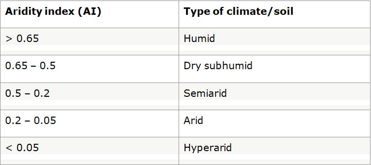
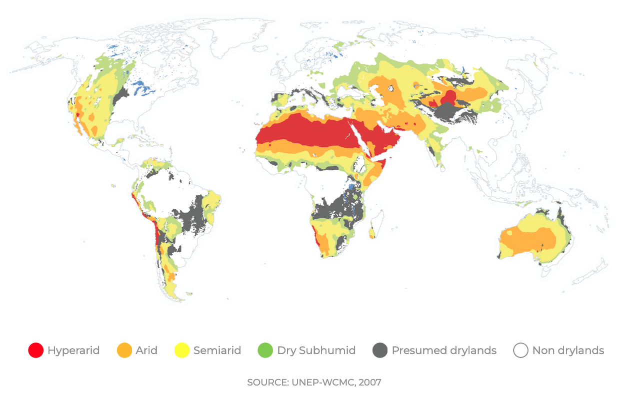
Figure 1. Drylands classified from the most to the least arid: in red, hyperarid lands; in orange, arid lands; in yellow, semiarid lands; in green, dry subhumid lands and in grey those in the process of becoming dry. © The UN Environment Programme World Conservation Monitoring, Centre (UNEP-WCMC)
We can see the geographical location of this classification in figure 1:
Dry subhumid zone. It is the least arid. It extends, for example, into the Sudanese savanna, the forests and grasslands of South America, the European and Siberian steppes, and the grasslands of Canada. Most of the dryland forests are in the subhumid zone (52% of its surface is forested), and some significant areas of intensive irrigated agriculture, favored by the existence of perennial rivers (which do not dry up all year round).
Semiarid lands. They can be found in various regions worldwide. For example, in sub-Saharan countries, in the Mediterranean, western North America, northern Mexico, much of Australia, Central Asia, and southern Africa. They also have a significant amount of forested area: 41%.
Arid zones. These occupy the Sahelian zone, the northern Sahara Desert, the central Middle East, some areas of central Asia, and much of Western Australia. In these areas, the proportion of forest drops drastically to 7%.
Hyperarid zones. The Sahara, Arabian, and Gobi deserts are included here.
Dry subhumid zone. It is the least arid. It extends, for example, into the Sudanese savanna, the forests and grasslands of South America, the European and Siberian steppes, and the grasslands of Canada. © Vansep Awan-unsplash
Aridity is full of life
As we can see, drylands encompass very diverse territories that, in total, make up 41% of the planet’s land surface; this means some 6.1 billion hectares. This figure gives us an idea of these lands’ importance in the planet’s environmental balance.
Although it may seem surprising, according to the latest FAO drylands assessment, these regions hold more than 27% of the world’s forests, equivalent to about 1.1 billion hectares, and only 28% of their surface is barren; the remaining 25% is occupied by grasslands and 18% by crops.
From a different perspective, trees are present in nearly one third of the world’s drylands. These trees and forests highlight one of the critical aspects of the importance of these lands: they provide habitats for biodiversity, protect the land from wind erosion and desertification, provide shade for crops, animals, and people, help water penetrate the soil, and contribute to its fertility. They are the main defense farmers and cattle breeders have against desertification and the world needs them to reduce the absorption of atmospheric carbon.
A key aspect for safeguarding planetary biodiversity is that they constitute essential migration territories for birds. These migrations regulate ecosystems between continents in a north-south direction. They are currently endangered by the disappearance of many wetlands that are the resting and feeding grounds of migratory birds.
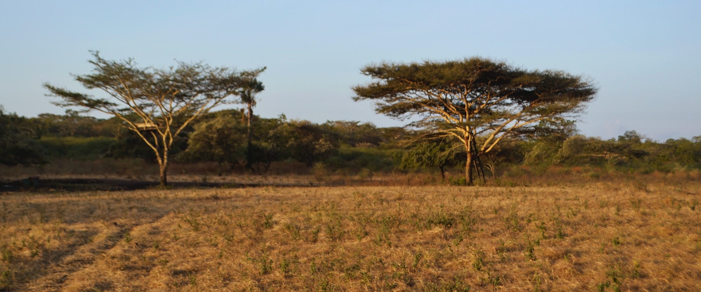
Figure 2. Decrease (from yellow to red) in the water holding capacity in arid areas in an SSP2 scenario (average challenges for mitigation and adaptation) 2010 – 2050. © PBL Netherlands Environmental Assessment Agency.
Halting desertification
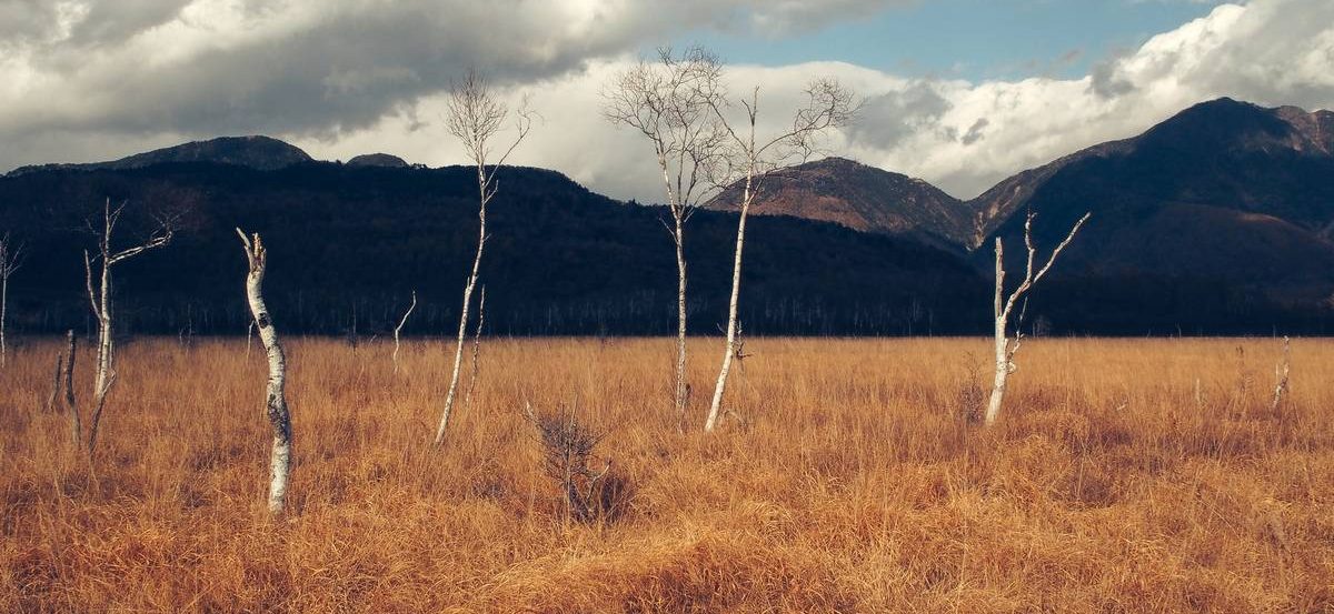
IPCC reports warn that climate change is degrading drylands. If global warming is not stopped, conditions will be more extreme, with more droughts, intense heatwaves, and strong erosive winds. The United Nations Convention to Combat Desertification (UNCCD) estimates drylands lose 23 hectares of vegetation per minute due to drought and desertification. And this loss is likely to increase during the next few decades, as rising temperatures lead to increased evapotranspiration.
According to the UNCCD, desertification is “a degradation process of fertile land in arid, semiarid, and dry subhumid areas due to climate variations and human activities.”
IPCC reports warn that climate change is degrading drylands.© Olivier Mesnage-unsplash
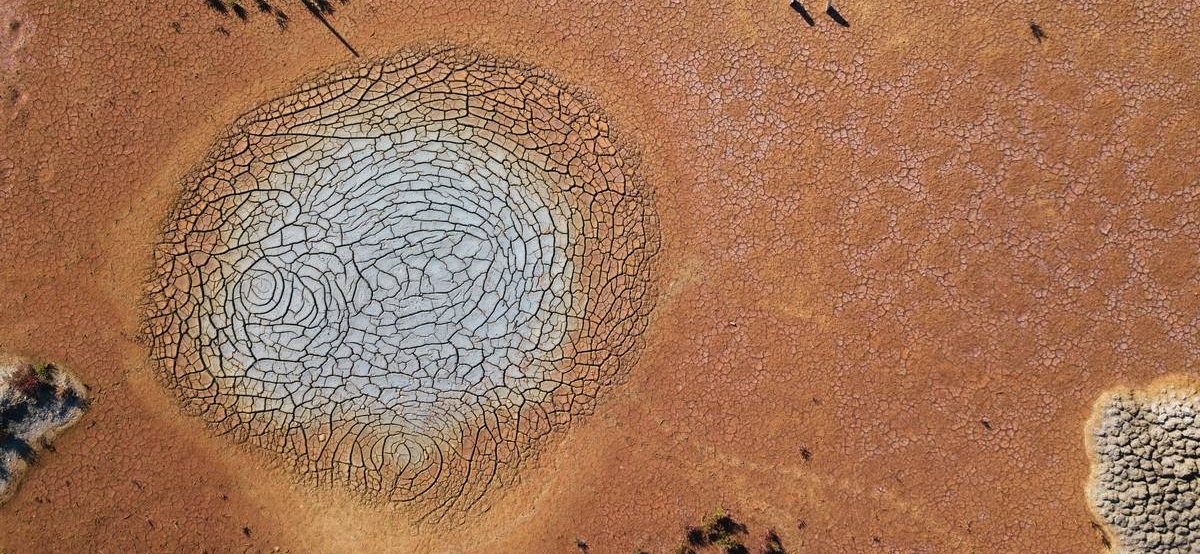
Regarding human activities, desertification originates when the natural and economic systems are not in sync. This usually happens when the water consumption rate exceeds its regeneration. A paradigmatic case is the depletion of aquifers in intensively cultivated areas in many regions of Spain, Arabia, California, the Middle East, western India, Australia, and several Sahel countries (see figure 2). In the latter case, overgrazing during the rainy season in semiarid and arid areas degrades the vegetation cover increasing erosion, which has been endemic in many sub-Saharan countries in the second half of the 20th century.
We must save the land
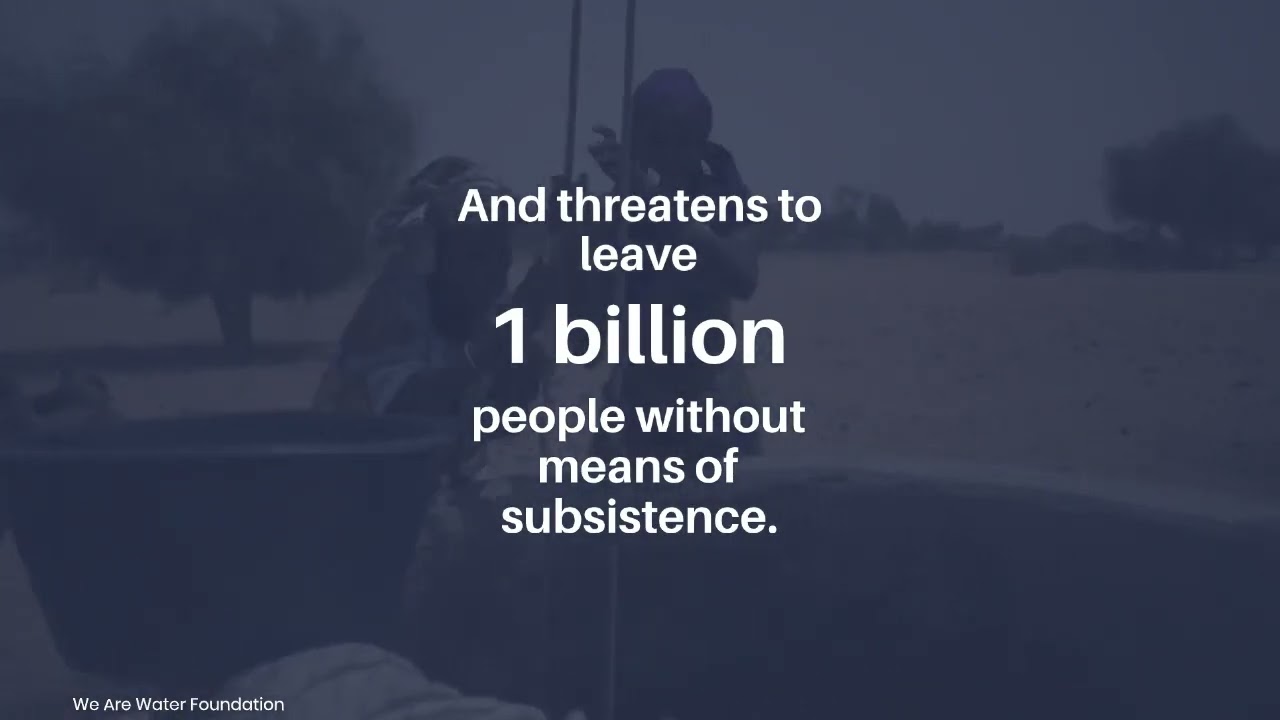
According to FAO, 70% of the world’s drylands suffer degradation, and desertification directly affects 250 million people. It is a process that threatens 1 billion people, which may cause the forced displacement of 50 million in the next ten years. It is also estimated that the global surface of arid areas may increase between 11% and 23% by the end of the century. The FAO and the World Bank currently estimate that economic losses from deforestation and land degradation amount to US$6.3 to 10.6 trillion.
These losses entail a human drama, as 90% of the inhabitants of drylands live in developing countries and have one of the highest birth rates on the planet. On the other hand, 50% of the world’s livestock and 44% of the world’s food are produced in drylands.
The FAO and the African, Caribbean, and Pacific Group of States have implemented the Action Against Desertification program to mitigate the adverse social, economic, and environmental effects of land degradation and desertification. Within the program’s framework, the land is restored by planting appropriate species to improve soil quality, promoting the use of quality seeds, managing the natural regeneration of species, and planting areas through village management committees.
Another project of Action Against Desertification is the Great Green Wall of Africa, which, as we explained in this article, brings hope to the Sahel, one of the areas most vulnerable to the current climate crisis.
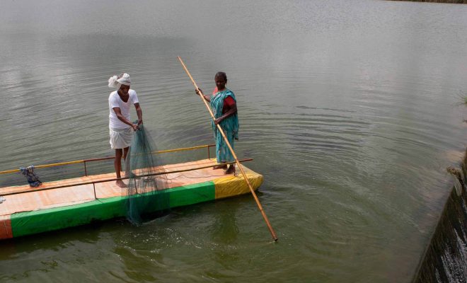
The regeneration of aquifers, recovering infrastructures, and practices following nature’s model are essential to fight aridity. In our projects in India, we have proven the effectiveness of the construction of small self-managed reservoirs. In Ganjikunta and Girigetla, and more recently in Settipalli and D.K.Thanda4, these reservoirs bring life to the most impoverished farmers and regenerate aquifers slowing down deforestation. It is a development model to be followed in semiarid and arid areas of India and other countries subject to uncertain and irregular rainy seasons.
Proper irrigation management, such as drip irrigation techniques, which we have developed in Mudigubba and several villages of Andhra Pradesh, can also reduce groundwater abstraction and increase crop productivity and is a key practice for reducing water stress.
The SDGs cannot be achieved without social and economic investment to prevent dryland degradation and desertification. We all depend on them.